
Supply chain optimisation and geospatial data
The global supply chain is complex and knowing how to navigate it efficiently is key to optimising your supply chain and making sure you are ready for peak periods. What this means in practical terms is that your data is the most valuable resource you have to make it through the holidays and come out on top.
Geospatial data intelligence means navigating the massive global network of carriers, services, and warehouse locations efficiently. Disruptions can occur anywhere and at any time, but if your geospatial data is ready, you can make it through and have many happy customers as a result.
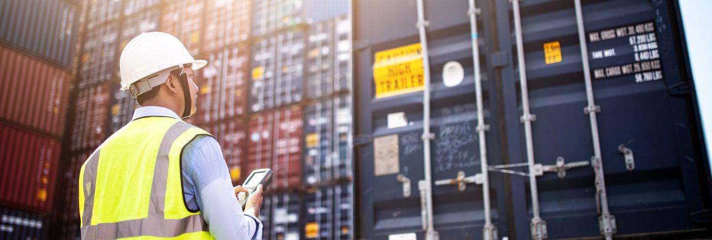
Most bottlenecks occur at the nodes and physical distribution centres. Rail ramps, ocean terminals, shipping centres, and customs are the most common places where supplies and products are held up. The ability to predict and plan for these interruptions means the difference between happy customers who will give you their business again and unhappy ones who will never return. Accurate, timely geospatial data is at the heart of making sure this issue does not catch you off-guard.
Geospatial intelligence and product visibility
Knowing where your product is at all times is the key to predicting and overcoming delivery challenges. Imagine that your customer calls the customer service department and wants to make sure their package will arrive in time for the holidays. Without geospatial intelligence, the customer service representative can only give your customer hopeful assurances. If something goes wrong and the package does not arrive on time, it will probably result in a refund or an unhappy customer who will never return. You will be fortunate if the customer does not tell everyone about their negative experience with your brand on social media.
Now, imagine that the customer service representative can contact the shipping department or see the product location on their screen. They can tell the customer with confidence that their product is in Cambridge and will arrive at a specific date and time. This customer will feel confident, and so will the customer service representative. If a problem is spotted, there is time to intervene and correct it.
Using this example, you can see how having accurate, timely geospatial data can turn a potentially negative interaction into a positive one.
Businesses use additional data attributes like geocoordinates and grid references to improve geospatial data. They may also rely on platforms that uses artificial intelligence and machine learning to coordinate data points and predict product locations.
Here are five ways location intelligence and its technology can help improve supply chain management:
- Internet of things (IoT) devices
The IoT is an environment of interconnected devices that send data and allow continual updates of their location with no human input necessary. They include smart devices like vehicles, containers, and home electronics. The location technology keeps track of where the device is located and sends it to a central location at a certain frequency, much like the geolocation on your smartphone.
- Geofencing and RFID technology
Radio-frequency identification (RFID) technology can be used for tracking things like shopping containers and delivery vehicles. This technology can also be used to create geofencing that can tell you when a product leaves an area within a certain boundary.
- Check-in and check-out nodes
This is one of the more common tracking systems in use. With this system, the driver or node workers can scan a barcode on a package that tells the central computer when the item entered and left the facility. This type of location intelligence system can maintain specific details and help customer service representatives feed accurate information to customers. The disadvantage of this system, when compared to completely automated systems, is that it needs human input and takes time.
- Route planning and optimisation
Logistics optimisation software is available that can help you plan efficient routes and alert downstream nodes when they can expect to receive the products. This allows them to plan their staffing, space needs, and any special handling. Advance warning for all elements of the supply chain means more efficient delivery and happy customers for everyone.
Find out how Yodel increased their first-time delivery rates by 5%
Read the full story now- Improved agility and risk management
Let’s say your customer’s package encounters an unforeseen storm along the route that causes a delay. With accurate and timely geospatial data, you can take action and reduce the risk of an unhappy customer and a potential refund. You might be able to reroute the package to avoid the snowstorm or have the product shipped from a different node. This reduces the risk of loss and allows you to be agile enough to adapt to unforeseen circumstances.
Get ready with geospatial business intelligence solutions
Supply chain optimisation begins with data quality and accurate geolocation data. Location intelligence means having accurate, up to date address validation. Many supply chain problems can be solved with accurate address validation and quality data. Discover 5 ways that location intelligence can transform your operations. Download our e-book now.